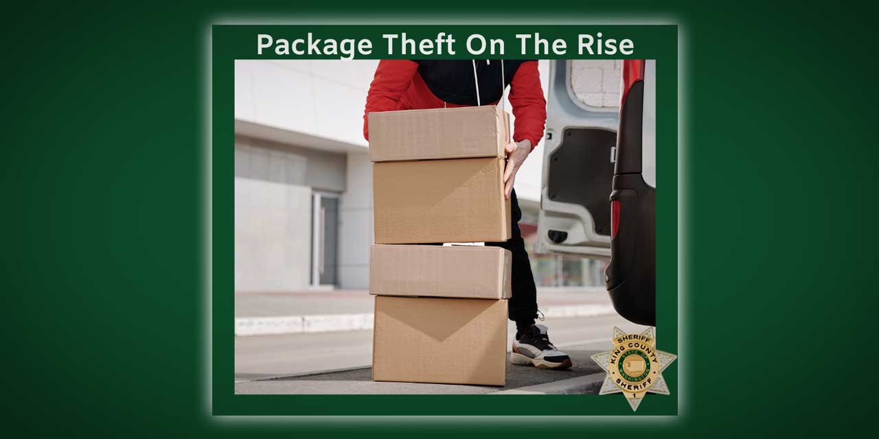
Quantcast

The National Weather Service issued a “High Wind Watch” advisory Thursday afternoon (April 1), and unlike some of our earlier stories, this one’s no joke – expect wind speeds between 35 and 55 MPH beginning around 10am Friday, April 2nd.

This means that there could be downed trees, power outages, road hazards, and of course, messy hair aplenty.

It also means snow and high winds in the mountains, along with treacherous pass conditions, so be careful if you’re traveling anywhere for Easter weekend.

Here’s the language the weatherfolk are using:

…High wind watch remains in effect for the greater Puget Sound region…east Puget Sound lowlands…and the lower Chehalis valley from Friday morning through Friday afternoon…

A high wind watch remains in effect from Friday morning through friday afternoon. * very strong…possibly damaging…south winds may develop along and behind a cold front on Friday…over portions of interior Western Washington.

There is still some uncertainty as to the exact track and depth of the associated surface low moving near or just north of washington. At this time…the most likely scenario would generate south winds of 25 to 35 mph with gusts up to 55 mph.

However…if the surface low deepens more than expected…wind speeds could reach close to high wind criteria. Therefore the high wind watch remains in effect until details are more certain. * the very strong winds could result in some power outages across portions of western washington friday afternoon and evening due to power lines being damaged by tree limbs. Some of the regions trees have begun to leaf out already…which could add to the potential for wind damage to occur. Rain soaked ground could allow trees to easily topple or become uprooted.

Precautionary/preparedness actions… A high wind watch means conditions are favorable for damaging winds. High winds can topple trees…down power lines…and damage some structures.

  • Confidence is high that strong winds and heavy snow will affect the mountains.
  • Confidence is high that damaging winds will affect the Washington Coast and North Interior
  • Confidence is only moderate that damaging winds will affect the Central Puget Sound area

A strong spring storm system will develop offshore and rapidly move through Western Washington Friday

  • Strong and damaging winds are expected, especially along the coast and in the northern interior of Western Washington
  • Trees have begun to leaf out, so there is a greater likelihood of downed limbs and trees
  • Heavy mountain snow of 1 to 3 feet is expected in the Cascades and Olympics above 3000 feet.
  • Increased avalanche hazards in the Cascades and Olympics
  • Heavy rainfall at lower elevations of the Southern Olympics will cause rises on the Skokomish river, though flooding is not expected at this time. Other rivers will not flood.

Bulk of Puget Sound area and Southwest Interior: S to SW 35 (with) Gusts of 55 mph beginning 10 AM PDT

For the latest updates, check out the National Weather Service’s Seattle-area website here.

We’re pretty sure that the last time a tsunami hit the northwest coast of the U.S. was in 1964, shortly after a major earthquake struck Alaska; far as we know, it damaged some places on the Oregon coast, including Cannon Beach.

Saturday morning (Feb. 27th), imagine our surprise when we saw an “Advisory” posted in our Weather Widget in the right sidebar. Clicking on it revealed that yes, a “Tsunami Advisory” had been issued for the northern and central Washington coast after a huge, 8.8 quake hit Chile´.

We don’t think this is cause for panic in the Puget Sound region, but we wanted to share this info because, well, who knows – maybe a small, tsunami-based wave will hit the shorelines near Des Moines late this afternoon? Maybe not?

The advisory warns that, if indeed a tsunami wave makes it up the coast, takes a right turn through the Strait of Juan de Fuca, makes another right and heads down through the upper islands of Puget Sound…when (and if) it hits Pier 48 in Seattle it’s predicted to be .13 feet high, which, according to our rudimentary math skills, equals a measly 1.56 inches high.

According to this NOAA website, the predicted time for this wave to strike Seattle is 1641 PST – for us non-military types, that’s 4:41pm Saturday afternoon.

If you happen to have a video camera and a lot of free time this afternoon, why not hang out near Des Moines’ waterfront around 4:30-5pm and see if you can videotape a 1.56 inch wave barreling down from the north? We’d love to post it – please email us if you do!

And if you know anyone who lives on the coast, or in Hawaii, please make sure they’re aware of this advisory, as it could be very serious in those areas.

According to the National Weather Service:

Persons in tsunami advisory areas should move out of the water… off the beach and out of harbors and marinas.

Tsunami advisories mean that a tsunami capable of producing strong currents or waves dangerous to persons in or very near water is imminent or expected. Significant widespread inundation is not expected for areas in an advisory. Tsunamis are a series of waves potentially dangerous several hours after initial arrival time. Estimated times of initial wave arrival for selected sites in the advisory are provided below.

Here’s the “Tsunami Advisory” language as posted at 9:18am:

Tsunami Advisory

Statement as of 9:18 AM PST on February 27, 2010

… A tsunami advisory remains in effect for the northern and central Washington coast…

A tsunami advisory remains in effect for the northern and central Washington coast.

There is no Tsunami Watch or warning in effect for the Washington coast. Repeat… there is no Tsunami Watch or warning in effect.

A powerful 8.8 magnitude earthquake occurred at 1034 PM PDT Friday near the central coast of chile. It has generated a tsunami wave… which is now spreading out across the Pacific Ocean.

The first tsunami waves are expected to reach the Washington coast between 250 PM and 310 PM PST this afternoon. The following are the
estimated arrival times of the first waves.

  • Seaside or… … ..246 PM PST
  • Westport WA… … .257 PM PST
  • Neah Bay WA… … .307 PM PST

The largest tsunami waves are expected two hours after the first arrival.

The waves are not expected to be large enough to cause coastal flooding along the Washington coast. However… some coastal areas could experience dangerous currents and surges in harbors and bays. Forecast tsunami wave amplitudes follow.

  • Long Beach WA… ..0.46 ft
  • Westport… … … .0.78 ft
  • Moclips… … … ..1.27 ft
  • Neah Bay… … … .0.65 ft
  • Port Angeles… … 0.33 ft
  • Bellingham… … ..0.46 ft
  • Everett… … … ..0.13 ft
  • Seattle-pier 48… 0.13 ft

The minimum wave height for a tsunami advisory on the Washington coast is 6 inches or 15 centimeters.

The initial wave will not be the largest. Coastal residents are advised to stay out of the water… off the beach… and away from harbors and marinas. Wave heights and currents are amplified by irregular shoreline and are difficult to predict. The tsunami may not be visible among the common ocean surf… yet tide gages will likely report some fluctuations.

Mariners in water deeper than 600 feet should not be affected by a tsunami.

Repeat… no Tsunami Watch or warning is in effect for the northern and central Washington coast.

And just ‘cuz we found it and we love science, here’s a pretty cool simulation video of what might happen if a tsunami hit Elliott Bay:

[youtube]http://www.youtube.com/watch?v=n2AGlhuCQ-A[/youtube]

The National Weather Service issued a “Special Weather Statement” Tuesday, Nov. 3rd at 4:57pm, warning of “very strong” winds and rain hitting the area Thursday (Nov. 5th) with gusts possibly as high as 50mph.

Here’s the warning in all its glory:

Statement as of 4:57 PM PST on November 03, 2009

… Windy conditions for the mountains… coast… and northern interior Thursday…

A strong Pacific frontal system will impact western Washington on Thursday. Breezy southeasterly winds on Wednesday night will become south-southwest on Thursday for the north interior and coast increasing to 20 to 30 mph with gust as high as 50 mph.

Winds just above the surface will be very strong on Thursday. Ridgetop winds for the Olympics and lower south facing slopes will range from 45 to 65 mph with higher gusts possible. Ridgetop winds along the southern slopes of the Cascades will also be windy… with sustained winds up to 50 mph possible. The strong winds will also be accompanied by heavy rains… combining for dangerous conditions in the mountains.

So…considered yourself warned – hold on to your hats and batten down your boats Des Moinesians!